Hiking on the mountains at the Como Lake to Monte Palanzone
In the middle between the southern arms of Lake Como, the mountains grow to a height of over 1,600 m. A wonderful area for hiking for the whole family. You will be rewarded with beautiful views over Lake Como and over the Po Valley, the Padana, which spreads to the south. With good visibility you can look as far as Milan.
What to Expect from Hiking at the Como Lake to Monte Palanzone
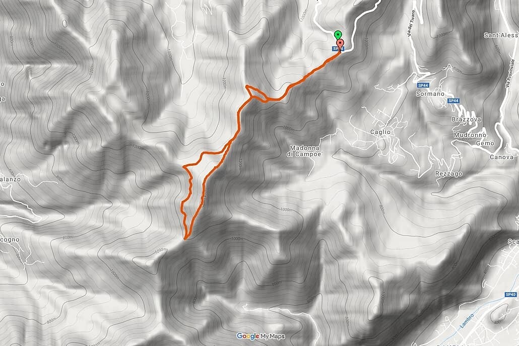
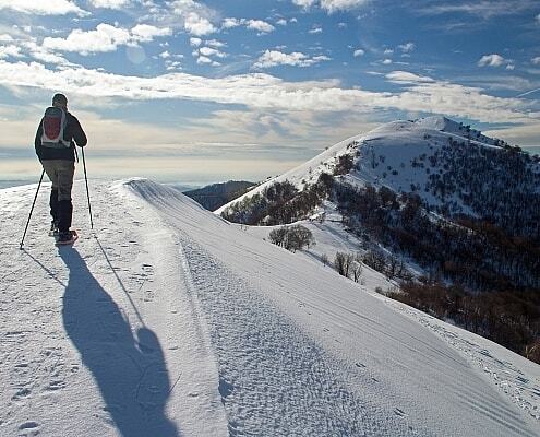
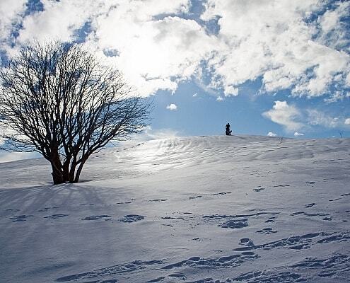
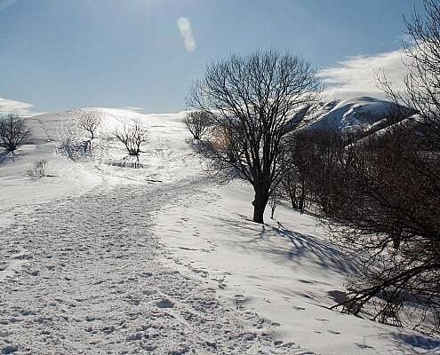
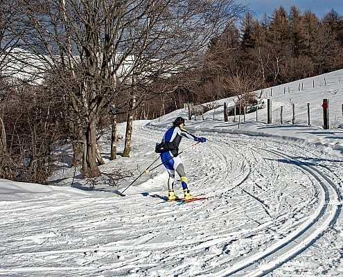
The Monte Palanzone lies quite centrally between the two arms of Lake Como. In the so-called Lariano triangle. Our hike begins on the Colma di Sormano plateau and slowly rises to Monte Palanzone at 1436 meters. The paths are wide and easy to walk on. The hike can also be enjoyed in winter as a snowshoe hike. For the circular hike you have to calculate about 4 hours.
Google Maps
Description of the Hike at the Como Lake to Monte Palanzone
- Duration: 4 Hours without lunch break and detours
- Difficulty level: 1 out of 5
- Distance: 9.5 km
- Minimum altitude: Colma di Sormano 1111 m
- Maximum altitude: Monte Palanzone 1437 m
- Total climb: 758 m
- Gradient (total): 746m
Starting Point Colma di Sormano 1124 m
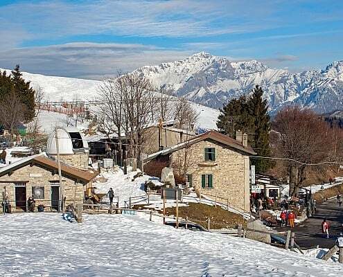
The starting point of the hike is the Colma di Sormano plateau at 1124 m. There are two ways to reach Colma di Sormano. Either through Erba, where you follow the signs to Canzo-Asso and then turn left to Colma di Sormano. From Como you can also drive towards Bellagio on the lakeshore and in Nesso turn right towards Pian del Tivano. At the “culmination point – Colma”, the highest point of the street, there is an observatory and the parking lot. On weekends, there is hardly enough parking space for the many visitors to the popular local recreation area. In spring the daffodil blossom is famous, which makes the wise men shine white.
From Colma di Sormano to Monte Palanzone 1436 m
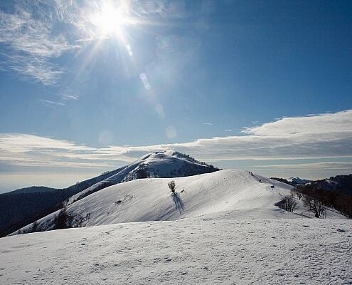
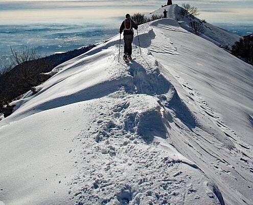
The first part of the hike continues uphill in a southerly direction. The first elevations are Monte Falo at 1182 m, Monte Pianchetta at 1243 m and Monte Croce at 1351 m. On the ridge you walk straight to the pyramid-shaped church tip of Monte Palanzone. At lofty heights you will be rewarded with a fantastic panoramic view.
Bocca di Lemna and Rifugio Riella 1275 m
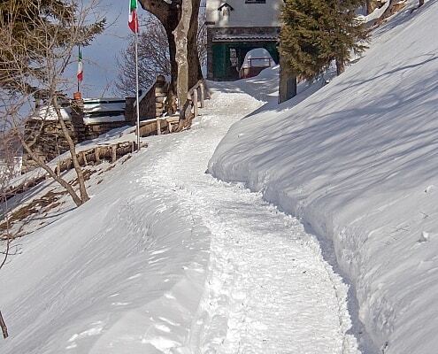
In a southern direction it goes downhill to the fork in the road. Continue straight towards Bocca di Lemna. However, we turn right to Rifugio Riella, which we reach after about 15 minutes. When the weather is nice, you can sit on the wooden benches in front of the hut and soak up the view over the peaceful Lake Como.
Return to Colma di Sormano
On the way back we meet the path we came and pass Mt. Croce. At the sign pointing downhill to the right, we continue straight ahead between the two trees, after a few steps we come across the path that leads less steeply through the grove. The rest of the way corresponds to the way there and ends at Colma di Sormano.
Why Hiking in at the Como Lake to Monte Palanzone with milano24ore?
Services Included in the Price
We provide an authorized Nature Guide for the Como Lake that speaks your language. Our guide will accompany you on this hike. He or she will give you interesting details on the way and draws your attention to the special features of the region and the special lake cuisine.
Additional Services
– Lunch at Rifugio Palanzone or Capanna Stoppani
– Overnight stays with breakfast and dinner in a comfortable hotel at the Como Lake
– Tour extensions with a regional wine tasting tour
– Private transfers
– Private boat cruise with aperitivo
Exclusive and in Your Language
The hiking tour is organized only for you and your fellow travelers. They are conducted in the language you choose. We have experienced local guides for Italian, English, French. Other languages on request or with an interpreter.
Pricing
The above price has been calculated for a group of 8 participants on a 4-hour hike. Please let us know the number of participants and special wishes with your request.
Arrival and Meeting Place
Your guide can meet you at Colma di Sormano or at your hotel at Como Lake. We can organize transport to the meeting point and collect you from the endpoint.
Stages of the Hike
Colma di Sormano, 1124 meters altitude
Colma di Sormano became known through several cycling races in the 1960s. The legendary wall of Sormano, introduced by Vincenzo Torriani, a legend of the Giro d’Italia, had a gradient of 25%. A plaque is dedicated to him. For a break, the historic hut Capanna Stoppani is recommended, where there are typical regional dishes.
Observatory Sormano, 1124 meters altitude
At this strategic point is an observatory, the Sormano Observatory, one of four Italian observatories (alongside Palermo, Catania and Rome) and one of 50 worldwide, which continuously records solar activity and forwards it to NASA. Eruptions and the associated dangerous proton radiation are measured. The measured values of proton radiation are used to predict and protect flying objects (space station, space shuttle that transports the satellites into orbit, flight personnel on intercontinental flights). If there is strong solar activity, it is recommended that the altitude be reduced from 13,000 to 8,000 meters in order to reduce the radiation exposure, which virtually doubles the fuel consumption. The computer-controlled telescope is designed for observing the night sky and the sun. If there is a professor at the weekend, small tours of the observatory take place. In addition, events on special celestial events (solar and lunar eclipses, swarms of meteorites, planets and stars of our solar system, etc.) are held regularly.
Rifugio Riella 1275 meters altitude
The Rifugio Riella des Monte Palanzone was built in 1908 and reconstructed in 2008. It was named in honor of the excursionist Angelo Riella. There is good food and homemade cakes. There are 25 beds.
Bocca di Guglielmo, 2020 meters altitude
In the mountain ranges of the Lariano there are cavities and passages that run through the mountains. Guglielmo was one of the first to venture into the cave on the Palanzone in the 1930s and lost his life in the process. The cave passages are over 400 m deep and several kilometers long. Expeditions take 3 to 4 days to explore the cave passages and the paths of the water and come to light on the other side of the mountain at Bocca Vallunga. The tragic death of Guglielmo was the reason for the establishment of the Alpine Rescue Service.
Other Interesting Hiking Tours for Individual Travelers and Groups by milano24ore
Please contact us if you don’t find what you are looking for. Our strength is to develop bespoke itineraries for individual travelers and private groups
Private Travel Group Travel


